| 10.90 | 106.83 | | 10.90 | 106.84 | | 10.90 | 106.85 | | 10.91 | 106.83 | | 10.91 | 106.84 | | 10.91 | 106.85 | | 10.92 | 106.83 | | 10.92 | 106.84 | | 10.92 | 106.85 |
Exposure Opportunity  |  (Page 1 of 2) (Page 1 of 2)  |
| Month |
Hits (km) |
Exposure Score |
| 0-0.5 |
0.5-1 |
1-2 |
2-5 |
| 3/1967 | 0 | 0 | 0 | 1 | 3.15 | | 6/1968 | 0 | 0 | 0 | 1 | 0.02 | | 7/1968 | 0 | 0 | 0 | 6 | 0.11 | | 9/1968 | 0 | 0 | 0 | 5 | 2.95 | | 10/1968 | 0 | 0 | 0 | 5 | 3.09 |
|
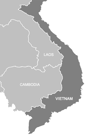
View Location on Contemporary Map
Return To "Land Transfer Agreements" |
|